Ōkārito Trig Walk
Westland / Tai Poutini National Park
- 1 hr 15 min – 1 hr 30 min return by the same track
- Easy
- Car park to junction: 30 min
- Junction to trig: 20 min
Short walk to an old trig site behind Ōkārito with views down to the lagoon and inland to the alps.
|
Walking time
|
1 hr 15 min – 1 hr 30 min |
|---|---|
|
Distance
|
4.2km |
|
Type
|
Return by the same track
|
|
Grade
|
Easy |
|
Bookings
|
No bookings — open access
No — open access
|
|
Starts
|
Car park next to Ōkārito school house. |
|---|---|
|
Maps
|
NZTopo50-BW15
|
|
Altitude
|
10m
–
157m
Altitude change 147m
|
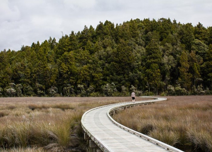
From the car park, follow the boardwalk across the wetland and into forest. A wide, smooth track leads up through forest draped in kiekie to a viewpoint. The track continues to a junction. Take the track to the left and climb through quintinia and kiekie forest to the trig.
Times:
ID 8539
About this track
Added 6 April 2013 by matthewmatthew.
No revisions.
23 views in the past year (2 per month).