
South of Lewis Pass
An unmarked turn-off in the riverside forest just under 3km north of Boyle Village leads to the Sylvia Flats car park. Walk north along the stony riverbed from here a minute or two to a hot spring bubbling up through the stones. The pools are scraped out amongst the riverside boulders and may be washed away by flooding. This is a good spot to camp.
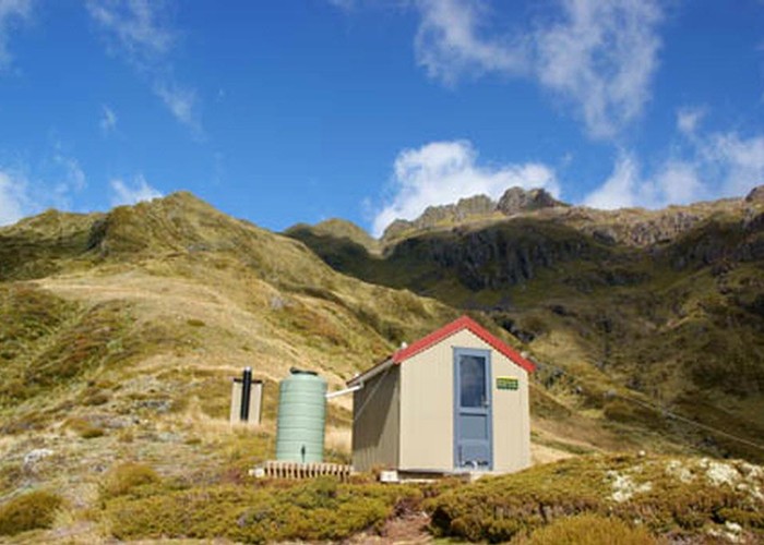
The Nina River provides good overnight or day trips. There are pretty, deep pools in the river not far from the road that would make for refreshing swimming holes on a hot summer day. The track starts opposite the New Zealand Deerstalkers Association hut (marked with a large "NZDA"). The new hut is located about 3 hours from the road.
Further north is Deer Valley picnic and camping area. From here, the Foleys Creek Track climbs to the bushline on Travers Peak. Time to the summit is about 2.5 - 3 hours. Another track, the Rolleston Pack Track, leads north along the road to the St James car park. It is part of the old pack track formed in the 1860s. This is about 45 minutes each way.
Lewis Pass
The boggy summit of Lewis Pass is marked by a small, pretty tarn. This is the northern end of the St James Walkway. An overnight trip along the St James to Cannibal Gorge Hut or Ada Pass Hut is very worthwhile. See that track for more information. The Tarn Nature Walk leads through the wetland here, looping back to the car park in around 30 minutes. Vegetation is predominantly turpentine scrub, bog pine, red tussock, club moss and lichen, until the track dips into a brief section of mountain beech, hanging with lichens. Good views of the Cannibal Gorge. Note that there are no facilities here other than a shelter. It is not a suitable place to camp.
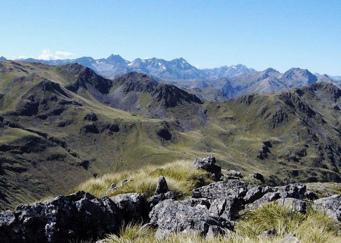
At the bend in the road just to the north, another small car park marks the access point to the Lewis Tops (this awkward bend is actually the highest point of the road over the Pass). A day or overnight trip onto the tops provides excellent views of the area. A shorter, half hour loop track leads to the Lewis Pass Lookout. The easy benched track explores rich, mossy beech forest as well as exposed lichen and club moss encrusted rocky slopes. From a seat at the top there are good views of the Cannibal Gorge.
West of Lewis Pass
Situated amongst natural surroundings on the bank of the Maruia River, the Maruia Springs Thermal Resort offers backpackers and (rather basic) camping space along with higher priced accommodation. Entrance to the pools and the Japanese bath house is included in the accommodation. Sandflies can be fierce during daylight hours.
Just west of Maruia Springs, the Mueller Tarn Track climbs steeply to this tarn right on the bushline on Mt Mueller. The track climbs about 2½ hours.
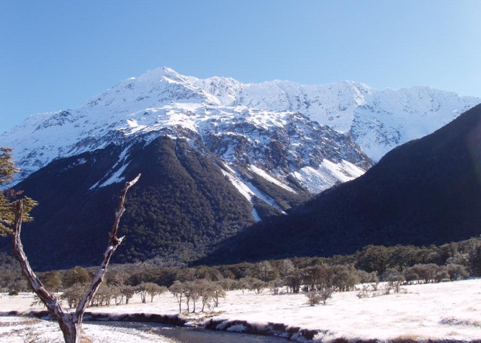
The Marble Hill Camping Area is located further west, where the road veers away from the river side. The Sluice Box near here is an interesting 10 minute walk. This is a deep but narrow slot carved in the marble by the Maruia River. Beyond the Sluice Box, a flat, easy track continues on to Lake Daniell. This pretty lake boasts a jetty and a large hut and even trout, and makes a great beginners overnight or day trip. Just to the east are the Five Mile Creek Falls — impressive falls, and a good leg-stretch if you're driving through.