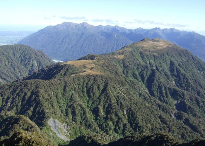
McInerney tops

This photo shows from Rocky Saddle through to the northern end of the McInerney tops with the Hohonu Range beyond across the Taramakau River. These tops run between Griffin Creek & Rocky Creek tributaries of the Taramakau & Taipo rivers respectively.
For years I'd wondered what the tops were like & had wanted to climb Mt McInerney which is prominently seen near Harrington & Griffin creeks when travelling from the West Coast to Canterbury. This Thursday I got around to it. From Rocky Creek bivvy it was 2hrs 15mins to the tussock and another 30 mins to the summit.
This photo was taken from Scottys Ridge. The map pointer shows Mt McInerney.
