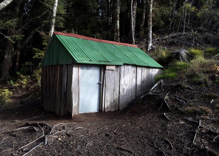
Iron Whare from Whittle Rd
Kaweka Forest Park
- 1 hr – 2 hr 30 min one way
- Medium
An alternative access to Iron Whare Hut.
A marked and roughly cut route runs from the reservoir ('fire dam' on older maps) by pt1083 on Whittle Rd to Iron Whare. This allows a loop via Iron Whare and Kaweka Flats Biv, or alternatively avoid a long road walk for those heading from Middle Hill / Kaweka Flats to Black Birch Ridge.
|
Walking time
|
1 hr – 2 hr 30 min |
|---|---|
|
Distance
|
3.0km |
|
Type
|
One way
|
|
Grade
|
Medium
Scrubby in places. Marking indistinct in places. Steep! Grades explained
|
|
Bookings
|
No bookings — open access
No — open access
|
|
Starts
|
'Reservoir' by pt1083 on Whittle Rd |
|---|---|
|
Ends
|
Iron Whare / Kaweka Flats Biv |
|
Maps
|
NZTopo50-BJ37
|
|
Altitude
|
600m
–
900m
Altitude change 300m
|
Head directly north from the fire dam / reservoir (towards the river) and pick up a narrow, tape-marked route through the scrub. This soon comes out in a mud basin where you cut to your right (east) and pick up the cut track again down the ridge. The track heads down the ridge and is narrow but well cut through the manuka scrub. As the slope steepens, the track come out to the top of a long slip running down the remainder of the ridgeline due north to the river. At the base of the slip, pick up taped markers and a cut track again and sidle left (west) before dropping ot the river just below the forks.