Toaroaha Saddle-Frew Saddle Circuit
- 4 – 6 days one way
- Medium
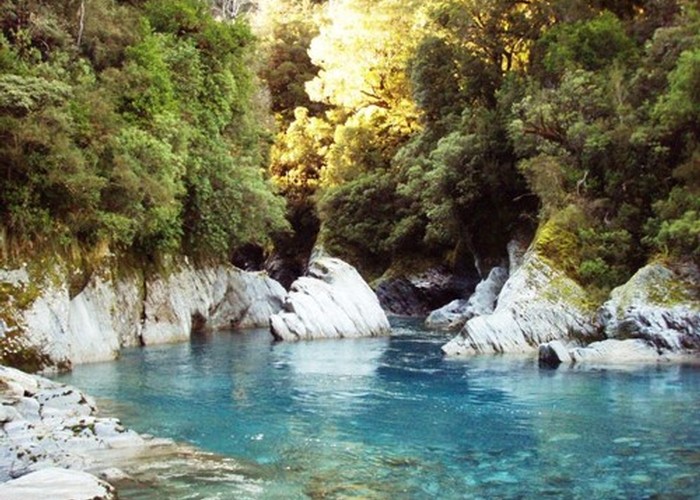
A great tramp in a remote location, crosses two alpine saddles, ice-axea and crampons needed in winter. More information on the DOC website.
1 member favourited
3 members checked in
|
Walking time
|
4 – 6 days
35 hr – 45 hr
|
|---|---|
|
Type
|
One way
|
|
Grade
|
Medium
Typical West Coast track, lots of steep ups and downs, quickly changing weather. Grades explained
|
|
Bookings
|
No bookings — open access
No — open access
|
|
Starts
|
Toaroha Road-End |
|---|---|
|
Ends
|
Whitcombe Valley Road-End |
|
Maps
|
NZTopo50-BV19
NZTopo50-BV18 |
|
Altitude
|
1,308m |
|
Link
|
www.doc.govt.nz/parks-and-recreation/tracks-and-walks/west-coast/hokitika/toaroha-hokitika-lower-whitcombe-track/http://www.doc.govt.nz/parks-and-recreation/tracks-and-walks/west-coast/hokitika/toaroha-hokitika-lower-whitcombe-track/ |
|---|
ID 7456
About this track
Added 13 November 2011 by USAhutbaggerUSAhutbagger.
3 revisions, most recently 13 November 2011 by
USAhutbaggerUSAhutbagger.
76 views in the past year (6 per month).