Southern Crossing of the Ruahines
Ruahine Forest Park
- 2 – 3 days one way
- Easy/medium
A track and river route crossing of the Lower Ruahine Forest park
|
Walking time
|
2 – 3 days
13 hr – 15 hr
|
|---|---|
|
Type
|
One way
|
|
Grade
|
Easy/medium |
|
Bookings
|
No bookings — open access
No — open access
|
|
Starts
|
Tamaki West Rd |
|---|---|
|
Ends
|
Pohangina Valley Rd |
|
Maps
|
NZTopo50-BL36
|
Tamaki west Road to Stanfield hut Via Holmes ridge 2 hours An easy well marked track and 4wd track with a short descent to the river and about 20 minutes upstream to the hut.
Stanfield hut to Cattle creek hut 2 hours a quick climb out onto a ridge and then down to cattle creek
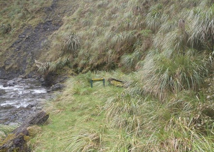
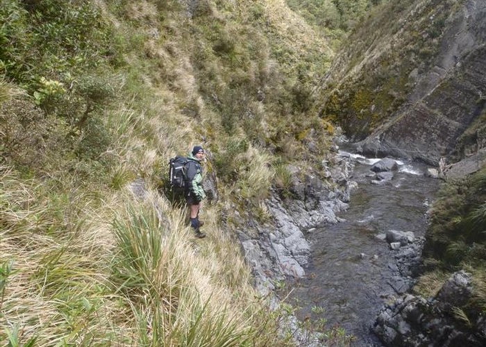
Cattle Creek Hut to Mid Pohangina 2.5 hours via the river. Sign posts vary about time from and adventurous 1 hour to 3 hours we did it in a comfortable 2.5hours be prepared to scramble a bit through a small gorge section and a steep climb out 15 minutes from Mid Pohangina.
Mid Pohangina hut to Pohangina Valley Rd 6 hours via sidle track I'm sure you could walk the river in about the same time but I would get sick of it fast. 30 minutes across farm land with a gut buster sprint up hill at the end.