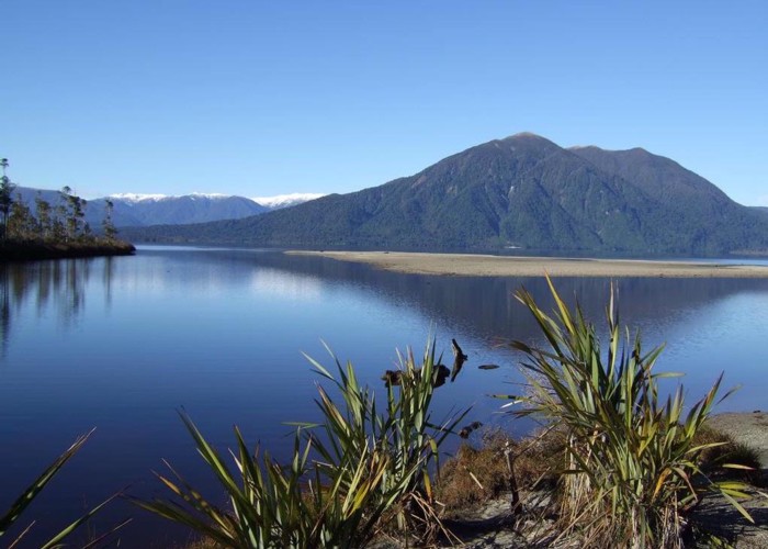
Mt Te Kinga

1 member favourited
This pic looking across Lake Brunner to Mt Te Kinga was taken from the spit at the mouth of the Eastern Hohonu River. (This point can be reached by extending the Bain Bay walk by carrying on around the lake shore to the spit)
The track up Te Kinga is on the skyline ridge to the left. This track takes you to point 1196m. Further to the SE across easy tussock tops is the higher point 1204m. Both points offer fantastic views on a clear day.
Te Kinga tops can be done as a day trip. The bush is quite nice with podocarps & hardwoods lower down & pink pine & cedars in the higher bush. Last visit we saw a few goats.
The map pointers show point 1196m the marked track terminus & the Eastern Hohonu River mouth where the photo was taken from.
Comments
-
walter dobbs hi walter here , nice view would like to visit
25 September 2011
ID 7201
About this photograph
License
All rights reserved
44 views in the past year (4 per month).
