Hauhungatahi Track
Tongariro National Park, Hauhungatahi Wilderness Area, National Park Villiage
- 5 hr – 7 hr return via same track
- Easy/medium
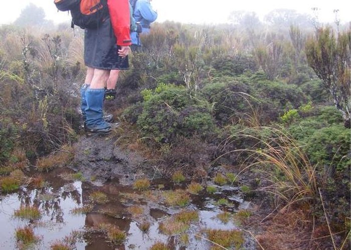
Hauhungatahi, also called Baldy, is the prominent hill just outside National Park. It is in a remote experience zone so this track is not officially maintained.
1 member favourited
1 member checked in
|
Walking time
|
1 day
5 hr – 7 hr
|
|---|---|
|
Distance
|
10.0km |
|
Type
|
Return via same track
|
|
Grade
|
Easy/medium
rough and damp underfoot. Grades explained
|
|
Bookings
|
No bookings — open access
No — open access
|
|
Starts
|
Erua |
|---|---|
|
Ends
|
Erua |
|
Maps
|
NZTopo50-BJ34
|
|
Altitude
|
755m
–
1,520m
Altitude change 765m
|
ID 6972
About this track
282 views in the past year (24 per month).