George Saddle via George Stream route
- 5 hr – 7 hr return via same track
- Medium
Challenging South Marlborough tramp up a large stream. Rock and boulder hopping towards the saddle.
|
Walking time
|
1 – 2 days
5 hr – 7 hr
|
|---|---|
|
Distance
|
7.5km |
|
Type
|
Return via same track
|
|
Grade
|
Medium
Must check weather before setting off - this stream will flood and it is your only way up and down Grades explained
|
|
Bookings
|
No bookings — open access
No — open access
|
|
Starts
|
George Creek car park |
|---|---|
|
Ends
|
George Saddle |
|
Maps
|
NZTopo50-BS28
|
|
Altitude
|
100m
–
1,180m
Altitude change 1,080m
|
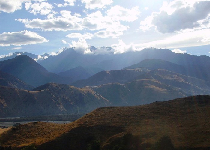
From the car park you can see Black Hill looming at 1276m, and all you can see is rock, water and tutu (Coriaria arborea). After a few km the gully narrows, and soon you're boulder hopping/climbing your way up past white water and a few tricky boulder negotiations (if you want to keep your feet dry, otherwise just walk on up!). Some major slips along the way with the carcasses of animals that didn't succeed at crossing them higher up. Higher ground is accessible in most sections, and some of it is almost level so you can set up camp. A hunters' camp is about 5.5 km and 500m up from the car park - tarp is in a nearby tree - you are welcome to use it. From there it's only another 1km of relatively easy climb until you get to the fork and the final 600m towards the saddle, climbing your final 200m up to 1180. Beyond that it's hunters country, but Jam hut is about 3.5km NW back down to 650m by following the Doddemeade Stream, or Hacocks Bivouac about 6km SW, a fairly demanding up/down/around affair.