Middle Crossing of the Tararua's
- 3 – 5 days one way
- Medium
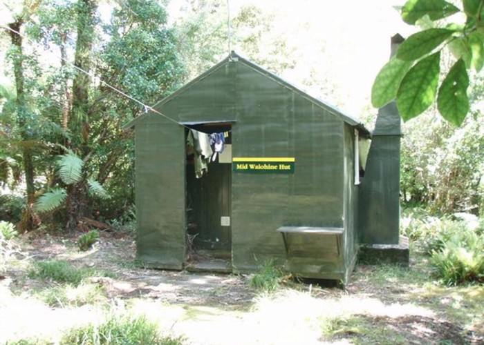
Climbing through beach Forest, Open tops, steep Descents followed by steep climbs, river valleys, great huts. An alpine experience with all the thrills good and bad weather can provide.
3 members favourited
2 members checked in
|
Walking time
|
3 – 5 days
22 hr – 25 hr
|
|---|---|
|
Distance
|
50.0km |
|
Type
|
One way
|
|
Grade
|
Medium
Allow an extra day in your planning once on the Tararua main range the weather can play a delaying factor Grades explained
|
|
Bookings
|
No bookings — open access
No — open access
|
|
Starts
|
Mount Holdsworth Road |
|---|---|
|
Ends
|
Otaki Forks |
|
Maps
|
NZTopo50-BP33
NZTopo50-BP34 |
|
Altitude
|
300m
–
1,470m
Altitude change 1,170m
|
All bush tracks are well marked. Open tops travel requires navigational skills especially in bad weather. The tararua main range can be narrow and steep complicated by high winds and driving rain in zero visibility its not for the faint hearted but if you allow an extra day or so in your thinking there are some nice huts to while away the waiting time for the worst of the weather to pass. Once committed to the main range there are few escape routes
ID 4889
About this track
70 views in the past year (6 per month).