St James Conservation Area
A large new recreational area featuring tussock grasslands, and including the headwaters of the Waiau and Clarence Rivers. The conservation area is crossed by the St James Walkway and Te Araroa.
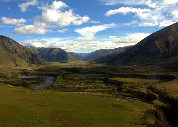
The purchase of the St James Station in 2008 has opened up a large new recreational area. Stock is being progressively removed from the station through to June 2010.
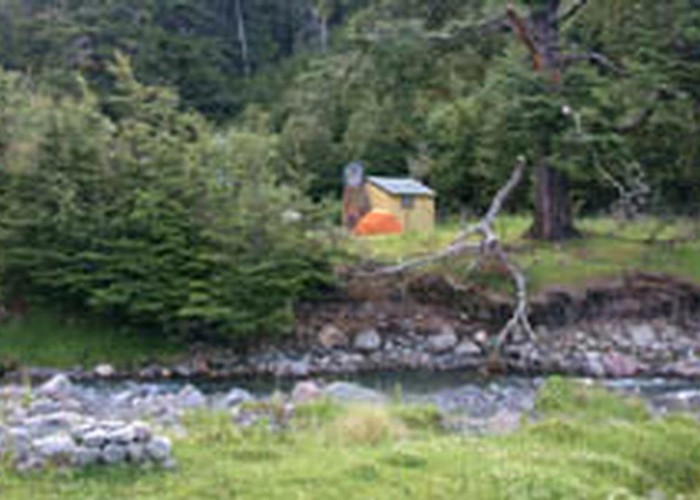
Major tracks in the area include the Saint James Walkway (5 days) and the Saint James Cycle Trail (1-2 days cycle or 5 days walk). The area is scattered with a number of old musterers' huts.
|
Area
|
782 square kilometres |
|---|---|
|
Maps
|
NZTopo50-BT24
NZTopo50-BT23 NZTopo50-BS24 |