Mt Te Aroha Track
- 2 hr – 2 hr 40 min one way
- Easy/medium
Track to top of Mt Te Aroha from Te Aroha Domain.
|
Walking time
|
2 hr – 2 hr 40 min |
|---|---|
|
Distance
|
5.0km |
|
Type
|
One way
|
|
Grade
|
Easy/medium
Wooden steps in some steep places, bit slippery when wet. Grades explained
|
|
Bookings
|
No bookings — open access
No — open access
|
|
Starts
|
Te Aroha Domain |
|---|---|
|
Ends
|
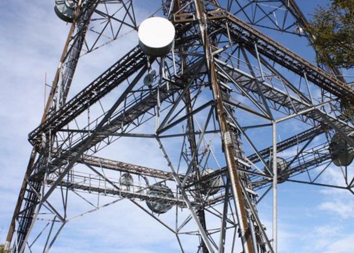
Top of Mt Te Aroha - TV Transmitter |
|
Maps
|
NZTopo50-BC35
|
|
Altitude
|
952m |
|
Link
|
www.doc.govt.nz/parks-and-recreation/places-to-visit/bay-of-plenty/tauranga-area/te-aroha/http://www.doc.govt.nz/parks-and-recreation/places-to-visit/bay-of-plenty/tauranga-area/te-aroha/ |
|---|
ID 4519
About this track
Added 21 October 2009 by Pam and StuPam and Stu.
No revisions.
36 views in the past year (3 per month).