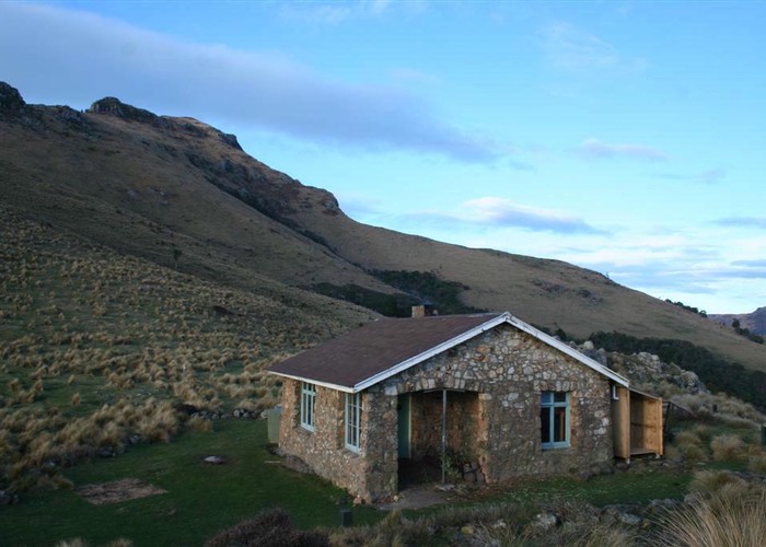
Kaituna Valley - Sign of the Packhorse
- 2 hr – 2 hr 30 min return via same track
- Easy
A gentle climb to this historic hut beneath Mount Bradley on Banks Peninsula. Views of the Port Hills and the head of Lyttelton Harbour. Closed for lambing approximately August-October.
5 members favourited
9 members checked in
|
Walking time
|
2 hr – 2 hr 30 min |
|---|---|
|
Distance
|
7.0km |
|
Type
|
Return via same track
|
|
Grade
|
Easy |
|
Bookings
|
No bookings — open access
No — open access
|
|
Starts
|
Parkinsons Road, Kaituna Valley, off SH75 |
|---|---|
|
Maps
|
NZTopo50-BX24
|
|
Altitude
|
40m
–
450m
Altitude change 410m
|