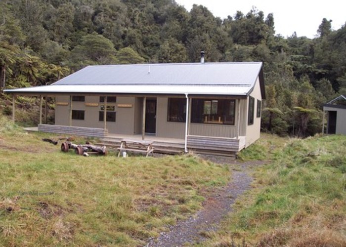
Waitawheta Hut from Lindemann Rd
Kaimai-Mamaku Forest Park
- 4 hr – 7 hr one way
- Easy/medium
A steep climb initially but some interesting Kauri Dams along the way. This route does not cross any major streams so is a good wet weather option
|
Walking time
|
1 day
4 hr – 7 hr
|
|---|---|
|
Distance
|
9.6km |
|
Type
|
One way
|
|
Grade
|
Easy/medium |
|
Bookings
|
No bookings — open access
No — open access
|
|
Starts
|
Lindemann Rd |
|---|---|
|
Ends
|
Waitawheta Hut |
|
Maps
|
NZTopo50-BC35
NZTopo50-BC36 |
|
Altitude
|
180m
–
670m
Altitude change 490m
|
After leaving the car the track the track crosses a short section of farm land and then enters the bush. Take the left hand fork as this is the shorter route, the other option is a loop track that joins our track at the top of the hill but is longer.
The track now climbs steeply to the top of the range. As it drops on the other side you pass a huge Kauri Log. A reminant of logging days past. The track traverses the head of a number of small streams and signs indicate the presence of Kauri Dams that were once in all these little creeks.
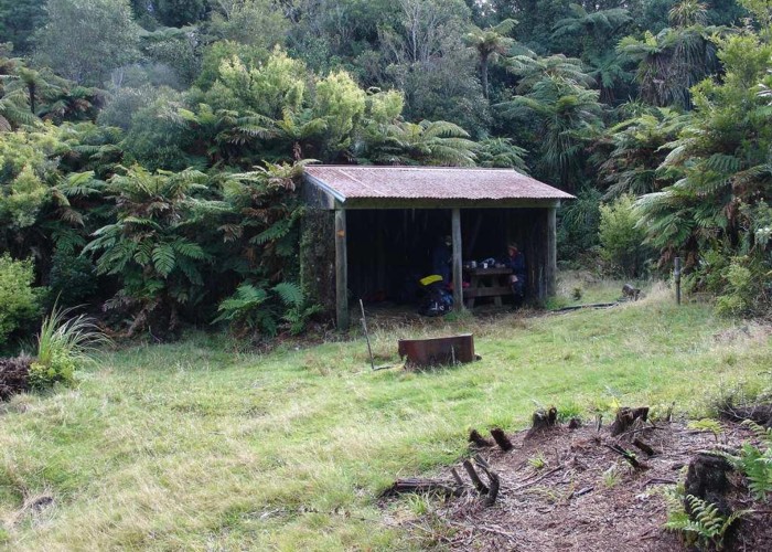
Soon you come out in a pleasant clearing just beside the Wairoa Shelter. This would be a good place for lunch or even a camp.
From here the track crosses a plateau area in the bush and then climbs onto the ridge before joining the Wharawhara track and dropping down into the Waitaheta Valley.
The track follows the true right side of the valley all the way to the hut. A short side track about half way down takes you to the remains of a Kauri Dam butr this one will be disappointing compared to what you have seen earlier.