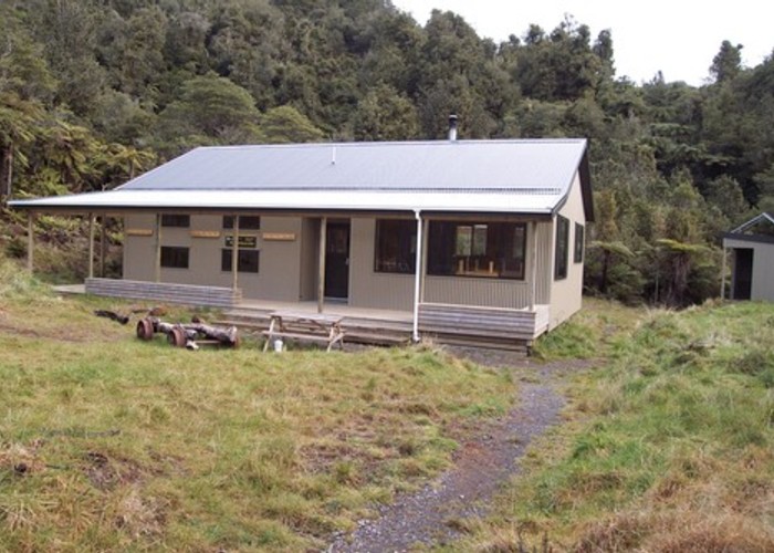
Waitawheta Hut from Wharawahara Rd
Kaimai-Mamaku Forest Park
- 5 hr – 7 hr one way
- Easy/medium
An interesting walk up an old tram line and then over the ridge to the Waitawheta Valley. As the track crosses the Wharawhara Stream a few times this route is less suitable in bad weather.
|
Walking time
|
1 day
5 hr – 7 hr
|
|---|---|
|
Distance
|
11.2km |
|
Type
|
One way
|
|
Grade
|
Easy/medium |
|
Bookings
|
No bookings — open access
No — open access
|
|
Starts
|
Wharawhara Rd |
|---|---|
|
Ends
|
Waitawheta Hut |
|
Maps
|
NZTopo50-BC35
NZTopo50-BC36 |
|
Altitude
|
125m
–
620m
Altitude change 495m
|
This track starts at the end of Wharawhara Rd just south of Katikati. It initially goes past buildings associated with the Katikati water supply and then crosses the stream at a weir.
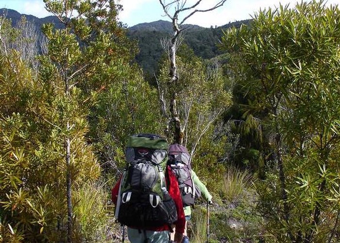
The track follows along the old tram line along the true right of the stream with some rocky bits where the tramline has disintergrated over time. Eventally the track crosses the stream two or three times before it climbs steeply away from the valley. After about 200m of climbing the track emerges into a relatively open area with regeneration Rimu, Totora & Kauri around. This is all that remains of Cashmore's Clearing. The main ridge can be seen ahead and the track quickly climbs to it.
The track over the ridge is fairly wet underfoot but there are good views back towards Tauranga.
Once over the ridge it is back into the bush and a quick descent into the head of the Waitawheta stream. The track follows down the true right of the Waitawheta all the way to the hut. About half way down look out for a side track that leads to a Kauri Dam. The dam has collapsed into a pile of logs and only the metal bolts and some wire rope distinguish it from any other log jam.
The track crosses a good bridge just opposite the hut and a short climb takes you to this large and very well appointed hut, amongst the remains of the old mill that used to be in this area.