Cass Saddle
- 6 hr 30 min – 7 hr 30 min one way
- Easy/medium
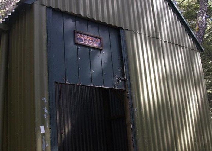
From the car park at the east end of the Cass road bridge, follow the vehicle track next to the row of pine trees until it meets Cass River. Follow the riverbed upstream, you will need to cross the river several times. The track climbs into the beech/tawhai forest at a marked point just below the junction with Long Valley Stream; it is easy to miss if you are on the wrong side of Cass River. DOC website says it takes approx 4 hours with the signpost suggesting 3.5 hours. We did it in 3 hours but 3.5 would be about right. Cass Hut has three bunks and a wood-burning stove. From Cass Hut it takes about another 45 mins up the Cass Saddle which has spectacular views. Saddle height is approx 1300-1350m. We returned the same day via the same track but you can also continue on to do the Cass-Lagoon circuit.
|
Walking time
|
1 day
6 hr 30 min – 7 hr 30 min
|
|---|---|
|
Type
|
One way
|
|
Grade
|
Easy/medium |
|
Bookings
|
No bookings — open access
No — open access
|
|
Starts
|
Cass carpark |
|---|---|
|
Ends
|
Cass carpark |
|
Maps
|
NZTopo50-BV21
|
|
Altitude
|
1,300m |