Comments
-
 pmcke Thanks for your useful comments. Encouraged by the success of the Waihua-Apiti trip I might have a look up the Ohutu sometime this summer. I have been up as far as the track to Duckville and it is still a biggish stream then so I don't imagine too much problem getting up further. The key will be getting from one catchment to the other. Hopefully it is a saddle route but the drop to the east looks steeper on the map and possibly bluffed. I will keep the 847 peak option in mind.
29 June 2009
 -
 surfa Hi, I have been upstream, but not over into the Ohutu. From memory, the Whaingatikitiki Stream is good to travel in the lower reaches. I have been up the left fork of that stream, and climbed up over the 642 and back down to the hut. The climb out of the creek was steep... With a pack, I think I'd try a route from the 847 peak approx 2kms NW of the hut. This is not a bad ridge to travel up from the main creek, but takes some time (probably 1.5-2 hours). I'm not sure what the going is like west of that peak, obviously a saddle to go through to hit the main devide between the catchments. I'd be interested to hear if you do this walk!
29 June 2009
 -
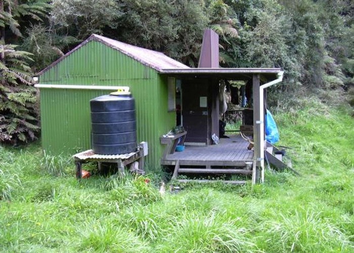
 pmcke Thanks for posting this photo. Looks like a cool hut and reminds me that I really want to visit it. Have you been upstream from this hut and crossed into the Ohutu. I have heard second hand of someone who did it and wonder what it is like and how long it took.
24 March 2009
ID 3563
About this photograph
26 views in the past year (2 per month).
