
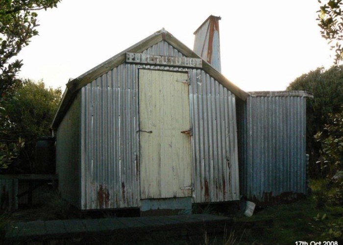
Puketutu Hut
Route Description
Grade: Moderate
Area:
by Raymond Salisbury
Phone: Probably is polite to ask custodians of the hut for permission. It might be booked out. (Note that during the roar it's well-frequented. Stay away from March til May.)
Drive: On SH2, just south of Katikati, approx 35km north of Tauranga. Turn into 
Walk:
Arriving on the new North-South Track (0:40), pass the turnoff to Aongatete Lodge (0:55) then climb up and over a rutted clay track and drop down into the Aongatete Stream watershed. Look carefully for a tree, marked with yellow tape. (
Jumping across 3 small tributaries, ford the Aongatete Stream at the forks. This is dangerous in high river flows. A stiff climb out of the valley. The forest here is more open, full of brown and black tree-fern and groves of Nikau palm.
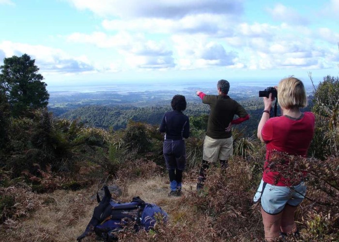
Top out onto a broad ridge with views across to the vertical ramparts of the main range, further west. The well-marked track continued across an undulating plateau. Look out for a tiny watercourse. (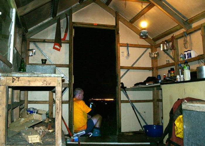
Three minutes past this confluence, look out for a single orange plastic tie around an average-looking tree, on your right. It’s very easy to miss. Directly behind the tree, framed with ponga logs, an old grave site had a large rock headstone, and a pair of animal skulls for decoration. This is an unmarked junction, the start of the old Puketutu Track. (
Cross the small bouldery stream behind the grave. Begin bush-bashing through a forest of ferns. Find a few plastic ties on ponga trees, and follow them up the slope. You should start seeing old white permolat markers on bigger trees.
Half an hour up, once on the main ridge, the Puketutu track merges into the old overgrown North-South Track. A small clearing provides good views back to the 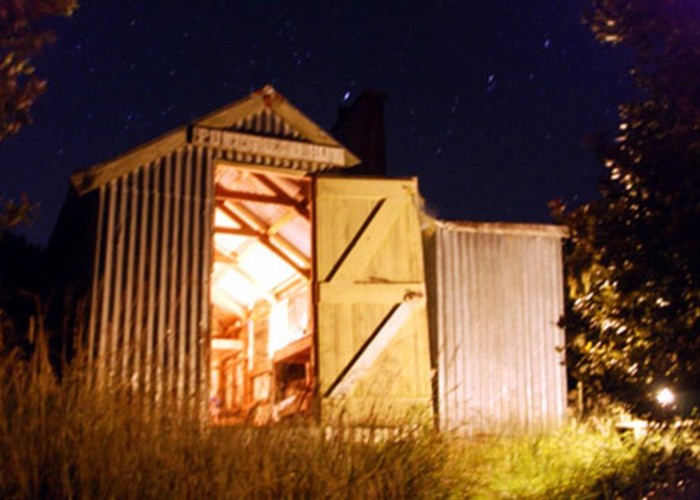
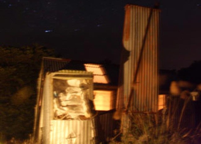
The watertank was working when I visited, but you should always carry water despite this. There’s 2 pink mattresses, and one scungy bit of foam. The loo and fireplace are in order. The view is fantastic across the Bay. I reckon that sunrises would be best during winter months, when the sun emerges from the east in front of the hut.
The visitor book was falling apart – not surprisingly, as the initial entry was in 1997. It’s mostly hunters who frequent this corner of the country, usually by helicopter. The reason why Puketutu Hut is not listed on the DOC website, (alongside Kauritatahi, Motutapere, Hurunui and Mangamuka), is that the Maori Trustees own this ‘hunting block’. All credit to them: they ARE doing the up-keep, and irregularly do repairs.
Intrepid trampers had followed the old track for 5-6 hours along the high plateau to Kauritatahi Hut, but found the route very overgrown. Again, water should be carried. This would be an arduous 3-day loop back to your car at
Permission to use Puketutu Hut:
Phone Leith Carmichael : Home: (07) 888 6441 or Cell: (027) 499 6492.
Track time: 4-5 hours to Puketutu Hut.
Alternative access is via the
Map: Morrinsville T14