Chasm Creek Track
- 45 min return via same track
- Easy
A short walk along an old section of railway. A tunnel and views of the Mokihinui River.
|
Walking time
|
45 min |
|---|---|
|
Distance
|
2.0km |
|
Type
|
Return via same track
|
|
Grade
|
Easy |
|
Bookings
|
No bookings — open access
No — open access
|
|
Starts
|
Mokihinui-Seddonville Road inland from Mokihinui. |
|---|---|
|
Maps
|
NZTopo50-BR21
|
|
Altitude
|
20m |
This short walk is easily dismissed, yet it offers a variety in a small package.
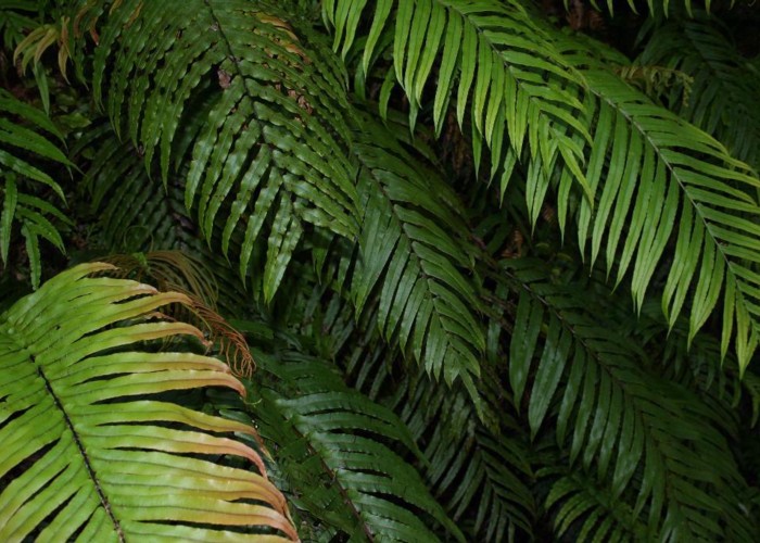
The walk follows the line the Westport-Seddonville Railway which has since been dismantled (the railhead is now at Ngakawau), starting at a small rise where the line once crossed the road. From here it continues through a deep cutting squeezed between the road and river, affording nice views of Warrigal Island. A variety of orchids grow along the track, and a rich tapestry of mosses coat the side of the cutting. The track soon passes through a tunnel (glowworms at night) then on through regenerating scrub before meeting the road just premature of the Seddonville pub.
ID 3329
About this track
96 views in the past year (8 per month).