Urchin-Umukarikari Loop Track
Kaimanawa Forest Park
- 1 – 2 days loop track with a road section
- Medium
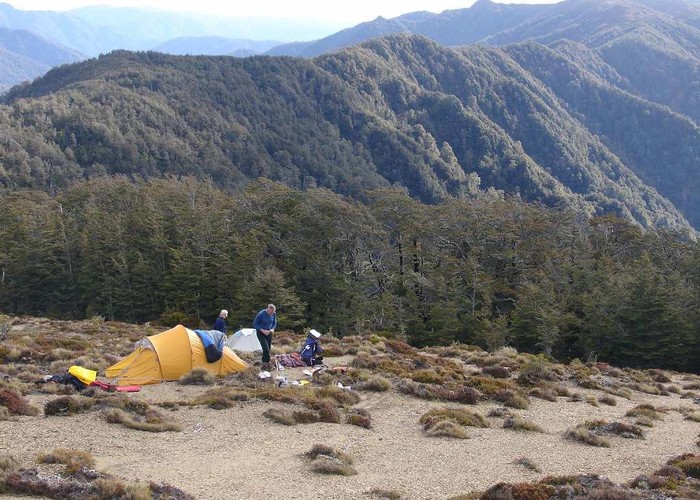
This is a new track linking the existing Umukarikari Track that goes to Waipakahi Hut with the Urchin Track that goes to the lower Waipakahi Valley. This now makes a day loop possible and on a good day there will be fantastic views of Lake Taupo, Tongariro National Park and the mountains of the Kaimanawas across the Waipakahi Valley.
As at December 2008 this track is usable but not complete. There is a 120m section of bush that is rougher going but is well marked. DOC have put some blue poles on the upper
6 members favourited
5 members checked in
|
Walking time
|
1 – 2 days
8 hr – 10 hr
|
|---|---|
|
Distance
|
17.0km |
|
Type
|
Loop track with a road section
|
|
Grade
|
Medium |
|
Bookings
|
No bookings — open access
No — open access
|
|
Starts
|
Umukarikari Track off Kaimanawa Rd |
|---|---|
|
Ends
|
Urchin Track off Kaimanawa Rd |
|
Maps
|
NZTopo50-BH35
|
|
Altitude
|
760m
–
1,482m
Altitude change 722m
|
ID 3246
About this track
270 views in the past year (23 per month).