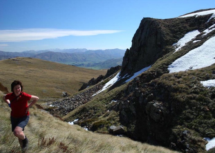
Mount Somers summit (from Woolshed Creek)
Hakatere Conservation Park
- Easy/medium
A gentle climb over untracked tussock land to this easy summit.
1 member favourited
6 members checked in
|
Walking time
|
|
|---|---|
|
Type
|
|
|
Grade
|
Easy/medium |
|
Bookings
|
No bookings — open access
No — open access
|
|
Maps
|
-
|
|---|
Mount Somers is an old rhyolite dome at the edge of the Canterbury Plains. It is generally steep-sided, with deeply-cut streams to the north and south, although an easy tussock slope leads up from the west.
The mountain is ringed by the [[Mount Somers Track]], a good (popular) alternative to the summit route. The standard, marked route to the summit is from Sharplin Falls car park, although the route described here is from Woolshed Creek car park.