Waimakariri Walk
- 3 hr loop track
- Easy
A rather plain walk along the Brooklands Spit between lagoon and ocean.
|
Walking time
|
3 hr |
|---|---|
|
Distance
|
10.0km |
|
Type
|
Loop track
|
|
Grade
|
Easy |
|
Bookings
|
No bookings — open access
No — open access
|
|
Starts
|
Heyders Road, Spencerville |
|---|---|
|
Maps
|
NZTopo50-BW24
|
|
Altitude
|
Sea level |
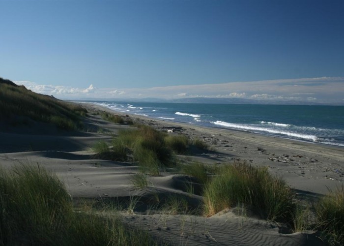
At the mouth of the Waimakariri River, Brooklands Lagoon is one of the few remaining natural wetlands in New Zealand. Birds use the wetland while breeding, wintering over, and migrating. The lagoon is sheltered from the Pacific Ocean by a narrow, 4.5km long spit.
There is very little shade on this walk -- take sunscreen. Perhaps take something to listen to as well, as it is a little boring.
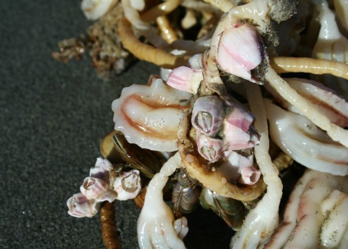
From Heyders Road at Spencer Park, follow the trail that begins just short of the road end car park. The wide trail is well marked, with encouraging kilometre indicators. The trail leads along the back of the sand dunes, and is sandy underfoot much of the way. Pine trees and marram grass dominate, although natives are also plentiful. Look for cottonwood, bindweed, glasswort, jointed wire rush, remuremu, and sea primrose. This Council document provides a photographic guide.
Out to the left, the lagoon stretches out behind the rushes, but there is never a good viewpoint. Near the end of the spit, the track passes through a patch of pine forest before ending at the beach. Watch for kingfishers and pheasants along the track. Out at the end of the spit you may see flocks of terns, black backed gulls, pied oyster catchers and shags.
Returning, follow the beach back for about 1 hour 20 minutes until you see the "Heyders Road" markers in the dunes. If you miss these markers, orange surf club markers are very obvious just a little further on. This stretch of beach is a breeding area for banded dotterels.