Silver Peaks-Jubilee Hut
Silver Peaks
- 4 hr – 6 hr one way
- Easy/medium
This is probably the easiest way to get to Jubilee Hut from Dunedin. There is a shorter route up Christmas Creek from Hindon but involves a longer road journey
|
Walking time
|
1 – 2 days
4 hr – 6 hr
|
|---|---|
|
Distance
|
9.0km |
|
Type
|
One way
|
|
Grade
|
Easy/medium
Could be more difficult going over the tops in stormy or cloudy conditions Grades explained
|
|
Bookings
|
No bookings — open access
No — open access
|
|
Starts
|
Semple Rd, off Double Hill Rd |
|---|---|
|
Ends
|
Jubilee Hut |
|
Maps
|
NZTopo50-CE17
|
|
Altitude
|
370m
–
777m
Altitude change 407m
|
There are two points on Semple Rd where you can start this trip. The one marked here is the second one along the road and is a slightly shorter distance than the other.
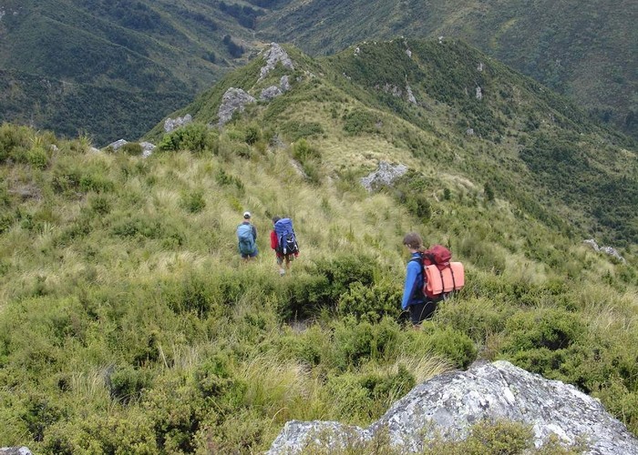
A good track is easy to follow all the way up to the old Green Hut site just below Green Peak. Note there is no hut there now. In the 1970s this ridge was just tussock with a bit of scrub. Since this area has been made a scenic reserve the native bush has come away and a canopy is forming along this ridge.
The Green Hut site is reached in about an hour and makes a good place for a rest. There is a track leading down to the water hole if you need water. It is only about 5 mins below the down the track.
From the Green Hut site the track climbs to the ridge and then sidles around to the south of Green Peak. The track is more exposed from this point on so take care in bad weather.
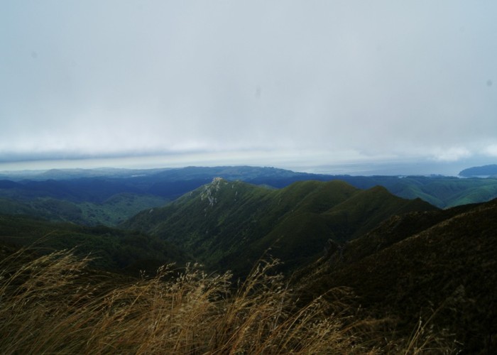
Eventually you climb to Pulpit Rock which is a prominent feature visible from a wide area. The rock is a 5 min detour from the main track.
The track is now an old 4 wheel drive track . Take care to follow the right ridge. One route goes left to Poplar Hut and another goes right to Rocky Ridge. You need to go to the summit of Silver Peak (777m) which is the highest point in the Silver Peaks.
On a fine day you will be able to see Jubilee Hut far down below you here. The track now descends down a ridge, known locally as the Devils Staircase. This ridge takes you directly to the valley floor and there is a delightful campsite right at its foot. However it isn't far to Jubilee Hut. Follow down the stream for a short distance and then the track sidles on the true left away from the valley floor.
Finally it climbs 100m to the new Jubilee Hut that you will see above you.
The old Jubilee Hut used to be on the true right on a terrace just above the stream just below a side stream. The fireplace and some foundations are still there. However it was a very cold and frosty site in the winter. The new hut will be much more sunny.