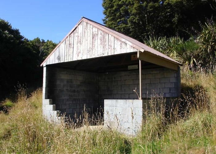
Pinapple Track - Skyline Walkway
Silver Peaks
- 3 hr – 5 hr one way
- Easy
This is an easy and popular track that gives great views of Dunedin city

|
Walking time
|
3 hr – 5 hr |
|---|---|
|
Distance
|
5.0km |
|
Type
|
One way
|
|
Grade
|
Easy |
|
Bookings
|
No bookings — open access
No — open access
|
|
Starts
|
Tanner Rd |
|---|---|
|
Ends
|
The Bullring on the Flagstaff-Whare Flat Rd |
|
Maps
|
NZTopo50-CE17
|
|
Altitude
|
190m
–
665m
Altitude change 475m
|