Motatapu Track
- 3 days one way
- Easy/medium
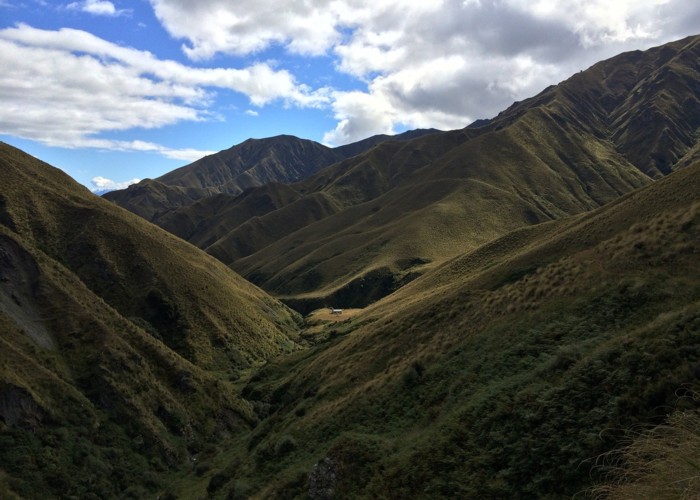
A new track crossing the Motatapu and Soho Stations to link Wanaka and Arrowtown, and forming part of the Te Araroa Trail.
1 member favourited
2 members checked in
|
Walking time
|
3 days |
|---|---|
|
Distance
|
29.0km |
|
Type
|
One way
|
|
Grade
|
Easy/medium |
|
Bookings
|
No bookings — open access
No — open access
|
|
Maps
|
NZTopo50-CB11
NZTopo50-CB12 |
|---|
Crosses the Motatapu and Soho Stations to link Wanaka and Arrowtown, and forms part of the Te Araroa Trail.
ID 2795
About this track
77 views in the past year (6 per month).