Karioi Track
Pirongia Forest Park
- 4 hr 30 min return via same track
- Easy/medium
A short walk through coastal forest to the summit of a small volcano, Mt Karioi, south of Raglan.
|
Walking time
|
1 day
4 hr 30 min
|
|---|---|
|
Type
|
Return via same track
|
|
Grade
|
Easy/medium |
|
Bookings
|
No bookings — open access
No — open access
|
|
Starts
|
Whaanga Road, southwest along the coast from Raglan. |
|---|---|
|
Maps
|
NZTopo50-BD31
|
|
Altitude
|
756m |
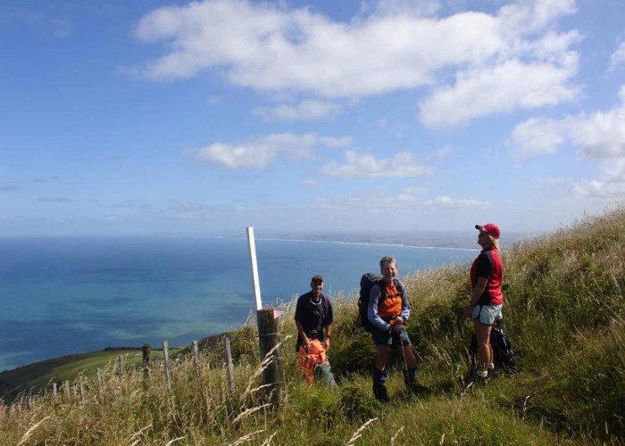
A small eroded volcano reaching just 756m, Karioi is the coastal neighbour of the larger Pirongia to the southeast. However, it is a worthwhile walk in itself, with distinctive forest and beautiful views along the coastline.
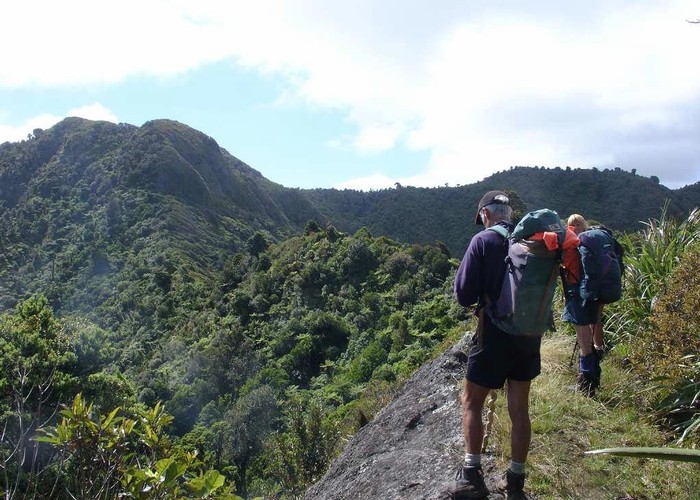
Two tracks lead to the summit, with the Karioi being steeper and more scenic. The Wairake Track is quicker but crosses farmland much of the time. One option is to travers the volcano using both tracks if you can arrange transport.
The track starts across the road from the Te Toto Gorge car park, climbing keenly up the scrubby hillside and into light forest thick with epiphytic plants. At the top of the long climb, a 5-minute side track leads to a lookout (1 hour 30 minutes from the car park).
From here, the track drops muddily down onto a narrow ridge. This is followed easily for 30 minutes, before the final clamber begins alongside a rather striking andesite dike (natural rock wall) to the summit.
A transmission antenna is located here, and there are good views from the helipad nearby. Time from the car park is 2 hours 40 minutes. The returning time is about 1 hour 45 minutes.