Northeast Track from Te Aroha
Kaimai-Mamaku Forest Park

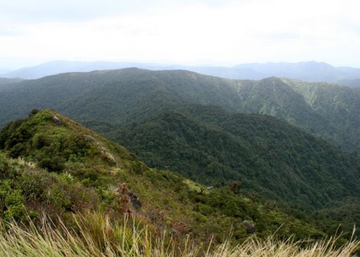
The view east across Kaimai-Mamaku Forest Park from the summit of Te Aroha. The Mangakino catchment is to the left and Waiorongomai to the right. Between the two, the Northeast Track follows the ridgeline to Pukekohatu (798m) and down to the Waitawheta River.
