Mt Kakepuku
Kakepuku Mountain Historic Reserve
- 2 hr return via same track
- Easy/medium
A brief climb to the summit of a forested volcano in the Waikato.
|
Walking time
|
2 hr |
|---|---|
|
Type
|
Return via same track
|
|
Grade
|
Easy/medium |
|
Bookings
|
No bookings — open access
No — open access
|
|
Starts
|
Kakepuku Mountain Rd southwest of Te Awamutu |
|---|---|
|
Maps
|
NZTopo50-BE33
|
|
Altitude
|
449m |
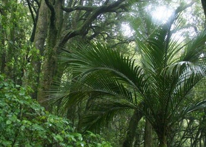
The Alexandra Lineament is a row of volcanic craters leading from coastal Karioi near Raglan in the northwest, to Pirongia, Kakepuku. and finally Te Kawa and Tokanui in the southeast. Kakepuku was the site of five Māori pa, and was once deforested. However, the mountain has been reserved since early in the Twentieth Century, and is largely revegetated. Conservation programmes have reintroduced North Island robins, and the birdlife is rich.
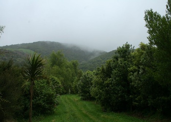
From Te Awamutu, take Bank Street then Puniu Road out of town. This becomes Pokuru Road. Turn off at Te Mawhai and Kakepuku Roads. The track start is marked on the right. A toilet and information panel is located here.
A grassy track leads through ornamental plantings to a lookout over one of the pa sites. From here, a muddy track climbs quickly into surprisingly pretty tawa forest. It soon eases off and drops briefly into the crater before climbing on to the summit trig. The trig doubles as a lookout tower with views of the surrounding farmland.