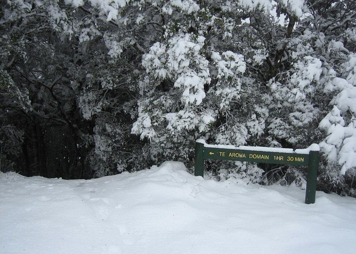
Mount Te Aroha
Kaimai-Mamaku Forest Park
- 4 hr – 5 hr loop track
- Easy/medium
A decent climb through rich forest to the summit of Te Aroha (953m), the highest point in the Kaimai Ranges. Extensive views out across the Kaimai-Mamaku Forest Park and out to sea.

|
Walking time
|
1 day
4 hr – 5 hr
|
|---|---|
|
Distance
|
9.0km |
|
Type
|
Loop track
|
|
Grade
|
Easy/medium |
|
Bookings
|
No bookings — open access
No — open access
|
|
Starts
|
Next to the Te Aroha Mineral Spas ticket office, Boundary Street, Te Aroha |
|---|---|
|
Ends
|
Reservoir above Lawrence Avenue, Te Aroha |
|
Maps
|
NZTopo50-BC35
|
|
Altitude
|
40m
–
953m
Altitude change 913m
|
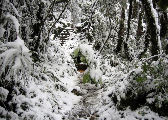
The Mineral Baths are located at the forest edge on the eastern side of the Te Aroha township. There is no parking at the baths, but street parking nearby. The track commences next to the mineral fountain gazebo and climbs through forest to the Whakapipi lookout over the plains (349m). From here, it climbs Bald Spur, steepening as the Horsemans Track turn-off is passed.

As the forest lightens and the track flattens off, sparse views of the ridge ahead are accompanied by the sound of wind roaring through the tall transmitter tower on the summit. The track skips out of forest onto the transmitter access road. The trig and a plane table are located on the highest point just behind the transmitter. The view stretches to Hamilton, Bombay, Thames and Tauranga on a clear day.
It is 2 hours from the baths to the summit. The quickest way down is to retrace your steps, but an alternative loops to the north, descending past the ravaged Tui Mine site.
The start of this track is to the right of where the spur track meets the road, and marked as "Dog Kennel Flat." It leads easily along the ridge, soon reaching a junction, with the Waiorongomai track leading off to the right. Continue on the gradual descent to Tui Saddle (45 minutes from the summit), At the saddle, the Mangakino Pack Track leads off to the right. This track provided access to the goldfields from Waihi.
From here, a wide benched track leads quickly down to the mine site, marked by an adit in the hillside, some bent, discarded equipment, and a stream trickling through a barren wasteland of tailings (20 minutes from Tui Saddle). A road leads on down, which the track soon leaves, leading into light, pretty forest featuring some large puriri.
Eventually, you will join the Water Race Track.Take this easy sidle left, back toward Te Aroha. Beyond a brief side track that takes in a large waterfall, the main track drops quickly through dry forest past the Mayflower Mine adit (cave wetas), past a little dam, and then alongside a stream. Continue along the scruffy, suburban tracks to the domain until you reach the reservoir. Follow the road down to the township (2 hours from Tui Mine).