Hayes Creek Trail
- 4 hr – 5 hr loop track with a road section
- Easy/medium
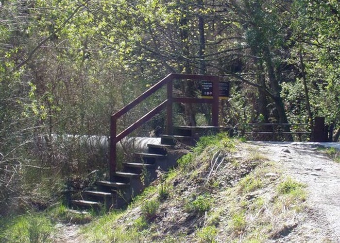
From Arrowtown follow the Sawpit Gully Track (0:40) from the Bush Creek end turn left and climb Big Hill (1:00).
Then decend the other side through Hayes Creek and an old mining settlement.
Ending up on the Macetown Road (3:30) for the walk back to the Arrowtown (4:30).
|
Walking time
|
1 day
4 hr – 5 hr
|
|---|---|
|
Distance
|
19.0km |
|
Type
|
Loop track with a road section
|
|
Grade
|
Easy/medium |
|
Bookings
|
No bookings — open access
No — open access
|
|
Starts
|
Bush Creek end of Saw Mill Track |
|---|---|
|
Ends
|
Loop via Macetown Road |
|
Maps
|
NZTopo50-CB11
|
|
Altitude
|
400m
–
1,137m
Altitude change 737m
|
I started at the Bush Creek end and the first 40 mins is an uphill slog to the main trail head. The first 5 mins is quite nice....
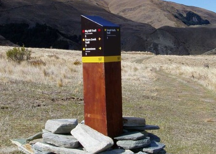
There is a sign post indicating Hayes Creek and Big Hill tracks branching off the Sawmill Track.
The saddle is a gentle uphill of about 1hr. The Hayes Creek trail branches off to the right (go straigh and you get to Macetown). This is where the trail gets a little less worn.
If you loose the trail (as I did) Hayes Creek is the 2nd creek from your right looking down (1st one is Fox's Creek and I'm not sure if you can get out the bottom).
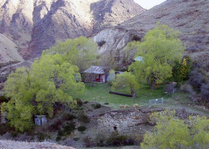
There is some old mining works, some derelict buildings and Shamrock Cottage which is worth a look around. The hut is locked.
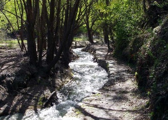
The walk down Hayes Creek is pretty easy and the track is well marked down here. You end up on the Macetown road. It was 12.5kms from the car to Macetown Road then another 6.2kms back to the car.
Took me 4hrs 30mins - I can't imagine there would be too many people out on this trail at any time. A nice quiet walk.
| This track needs a photograph. |