Mt Matthews
- 1 – 2 days loop with road section
- Easy
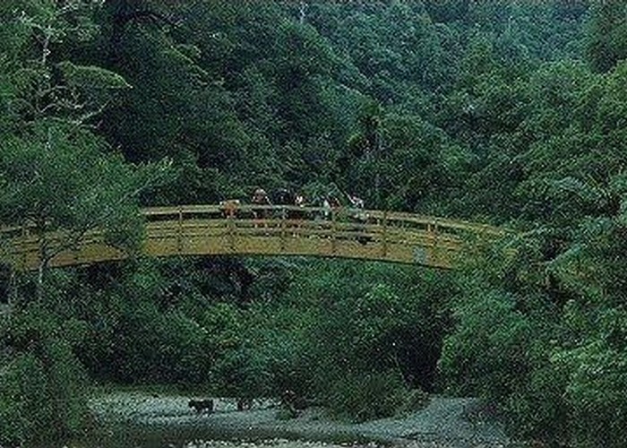
A long ridge walk to a fine river valley allowing access to the highest mountain close to Wellington city.
9 members favourited
2 members checked in
|
Walking time
|
1 – 2 days |
|---|---|
|
Type
|
Loop with road section
|
|
Grade
|
Easy |
|
Bookings
|
No bookings — open access
No — open access
|
|
Maps
|
NZTopo50-BQ32
|
|---|