Scott's Track
Hakatere Conservation Park
- 4 hr 15 min – 5 hr return via same track
- Easy/medium
A short climb from the Awa Awa Rata Reserve to Scott's Saddle on the Mt Hutt Skifield road.
2 members favourited
3 members checked in
|
Walking time
|
1 day
4 hr 15 min – 5 hr
|
|---|---|
|
Distance
|
7.0km |
|
Type
|
Return via same track
|
|
Grade
|
Easy/medium |
|
Bookings
|
No bookings — open access
No — open access
|
|
Starts
|
Awa Awa Rata Reserve, McLennans Bush Road, 14km northwest of Methven |
|---|---|
|
Maps
|
NZTopo50-BX20
|
|
Altitude
|
540m
–
1,120m
Altitude change 580m
|
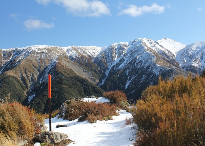
From the expansive Awa Awa Rata Reserve picnic area at the foot of Mt Hutt, this track climbs quickly through beech forest. After 30 minutes, the Ridge Track leads off to the left, while Scott's Track winds along the eastern slope of the Mt Hutt Range. The track breaks out of forest just over an hour from the bottom and offers views westward over Pudding Hill Stream.
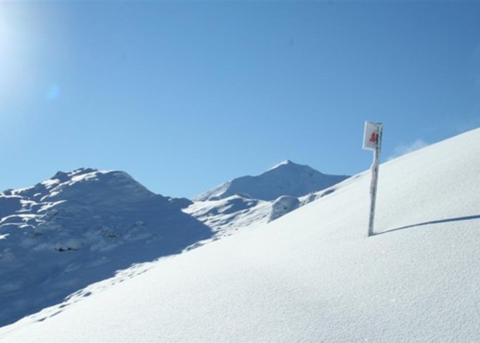
Eventually, the track crosses the ridge, and views of the ski area open up to the north. A brief section of 4WD track leads down to the saddle.
Returning via the skifield road is not a good idea during the ski season due to vehicle traffic.