
We went 900m up valley from the hut and filled up our water bottles for the long day ahead. The first bit, through long grass and matagouri, was quite steep then the terrain flattened a bit to consolidated small rocks nestled in celmisia. I remember how unpleasant this was in a previous descent from Mt Hecla as it was hard and uneven underfoot wearing our plastic climbing boots but no issue for us going uphill.
We climbed steadily up the spur for the next hour and I found it tedious to be on such sustained unchanging terrain but eventually got closer to where the spur is met by another spur, and in the lee of a rocky outcrop, stopped for a drink and a snack. This is where on a previous ascent we’d had lunch so it goes to show today we’d had a much earlier start. We continued along this broader and more laid back ridge of consolidated sandstone scree, devoid of vegetation apart from subtle successions of ranunculus and a single flowering grass I’d never previously noted.
We gained the narrow ridge that runs SW from the summit of Mt Hecla. There was a bit of a cooling breeze here. At this point last time Frank and I had called it a day and turned around rather than going to the previously visited summit in snow, with June having short days. It was pleasant travel to the summit but I was getting hungry and there was no shelter lee to the wind. I could see evil drop-offs to McLennan stream ahead. I stopped and waited for Frank to parley.
I then carried on to the summit and it was good travel from there via a scree face to sidle on to the SE ridge that drops 150m to a saddle. Frank checked in to see I was happy with the scree and I sure was. At the saddle I found a wee eroded section that formed a scoop, completely sheltered from the wind so we stopped here and had lunch. Further along there was another scoop but it wasn’t so sheltered. Frank talked about ascending 170m to the next wee bump but I could see it was easy to just sidle at the 1600m contour to the next saddle along the ridge so did this with Frank wondering where I’d gone but he soon sussed out I’d taken the shortcut so followed along.
I waited for him just up from the saddle where it was more sheltered in the sun and we carried on to Pt 1758 and the summit where there was a nearly circular rock wall constructed with a bit of snow within. I spurned this and sat against the outer wall in the direction of our intended descent – via what eventually became the western ridge. I sent a message to my brother as there was cellphone coverage then heard a voice. Frank arrived and mentioned there were others near the summit. They arrived and turned out to be 3 young tahr hunters who were camped on a ridge nearby, having driven up the Mt Hutt ski field road.
We admired the novel viewpoints from this angle: places we’d been such as Old Man Peak with Mt Taylor at the back and Boundary Creek leading to the col that we’d gone over into the Swin one time. Then we headed west but after a short drop down, I realized we’d need to sidle across a shallow broad gully to the correct spur so off we went and down we went using snow leads as a change from walking in scree though it was no more pleasant or faster, just different.
It was much more interesting now with changing directions and short sections of steepness followed by level traveling. At Pt 1390 we stopped and figured out where we’d be heading next to avoid going down the wrong spur, then there was another junction where we’d need to make the right choice to avoid going over Pt 1165. I could see there was no need to slavishly follow the spurs as the terrain was friendly with soft scree so took a direct line to the desired spur which meant protracted sidling much to Frank’s disgust where he pronounced no one prefers sidling but I kept my thought to myself that I preferred this to the direct descending which we’d soon be doing plenty of.
Then he was scolding me for not keeping to the hard left of the spur where visibility of our route further down was better but I thought I had it figured out so what was the need to see the terrain? We eventually stopped and figured out the lie of the land and where we needed to be headed next so moved to the right, back to my original line of travel, skirting most of a swamp but the flowering tussock we pushed through to avoid a patch of matagouri turned out to be a swamp-dwelling kind so we couldn’t avoided a bit of mushiness after all.
We continued down a steep spur alongside an old fence-line then it mercifully flattened out to a small low saddle with long green grass. Frank could see a route down a spur to our right that ran from here with a matagouri-free lead all the way to McLennan Creek just upstream from the junction with the Swift. He dropped off this spur to the right when it became covered in a thick band of matagouri. We’d looked at the map and counted this spur as a possible descent route, the others turning out to be too precipitous/scrubby.
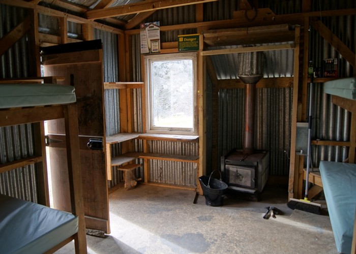
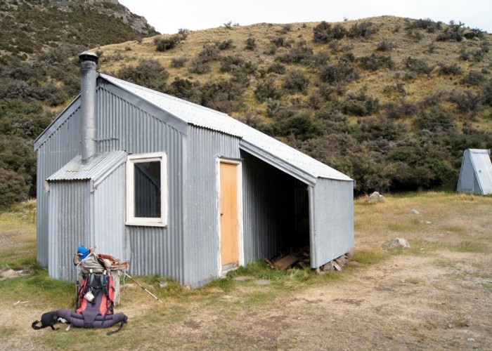
Where it flattened out at the bottom, the green grass was firm and dry underfoot with tahr sign so they liked it too. It would have made a lovely campsite. There was no steep drop-off to the river valley from here. Looking back to it you wouldn’t have known there was a broad break in the matagouri fringing the bank, leading to the spur. We crossed McLennan Creek and headed up the Swift to Cookies Hut. With river levels reasonable and the stream bed full of fine gravel, it took me 9 river crossings and Frank 7 before we finally crossed to climb up the bank to the hut.