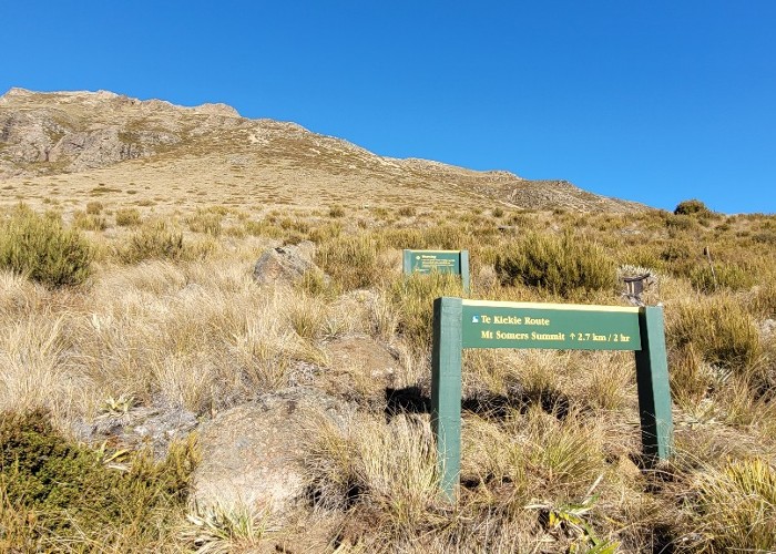
Te Kiekie route - Mt Somers
- loop track
- Medium/hard
New marked route linking the summit of Mt Somers with the Mt Somers track.
1 member favourited
|
Walking time
|
|
|---|---|
|
Distance
|
2.3km |
|
Type
|
Loop track
|
|
Grade
|
Medium/hard
Steep descent to the Mt Somers track Grades explained
|
|
Bookings
|
No bookings — open access
No — open access
|
|
Starts
|
Saddle between Woolshed creek and Pinnacles huts/Mt Somers summit. |
|---|---|
|
Maps
|
NZTopo50-BX19
NZTopo50-BX20 |
|
Altitude
|
1,688m |
A brilliant addition to the Mt Somers track or a great day trip from the Sharplin falls carpark over the South face-Mt Somers summit route-Te Kiekie route-Mt Somers track-Pinnacles hut and back to the Sharplin falls carpark.
ID 17227
About this track
254 views in the past year (21 per month).