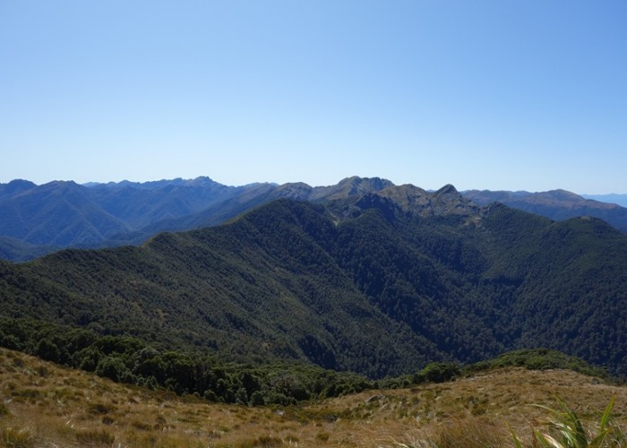
NE from Mt Hawera - Paparoa Range

1 member favourited
This photo was taken from a little NE of the the summit of Hawera (1190m) and looks NE toward Mts White Knight and Pecksniff.
The area in view is a little east and north of the new Paparoa Track making walking access much quicker than it once was. From the new Paparoa Tops Emergency Shelter it is under an hour off track walking to the summit of Hawera which has a trig on it. There is an automatic weather station a little further along the ridge to the south west from the summit. Views of the Pike River coalmine above ground infrastructure can be seen from SW of the summit.
