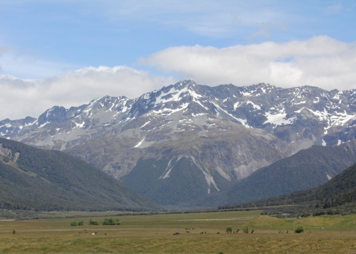
Section: Edwards River - McArthur Track
St James Conservation Area
- 2 days one way
- Easy/medium
The southernmost section of the St James Cycle Trail, between Tophouse Road and the Lake Guyon junction on the Waiau Uwha River.
|
Walking time
|
2 days
11 hr 30 min
|
|---|---|
|
Distance
|
40.8km |
|
Type
|
One way
|
|
Grade
|
Easy/medium |
|
Bookings
|
No bookings — open access
No — open access
|
|
Starts
|
Edwards River Track car park, Tophouse Road, north of St James Homestead |
|---|---|
|
Ends
|
Lake Guyon junction, Waiau Uwha River |
|
Maps
|
NZTopo50-BT24
|
|
Altitude
|
610m
–
946m
Altitude change 336m
|