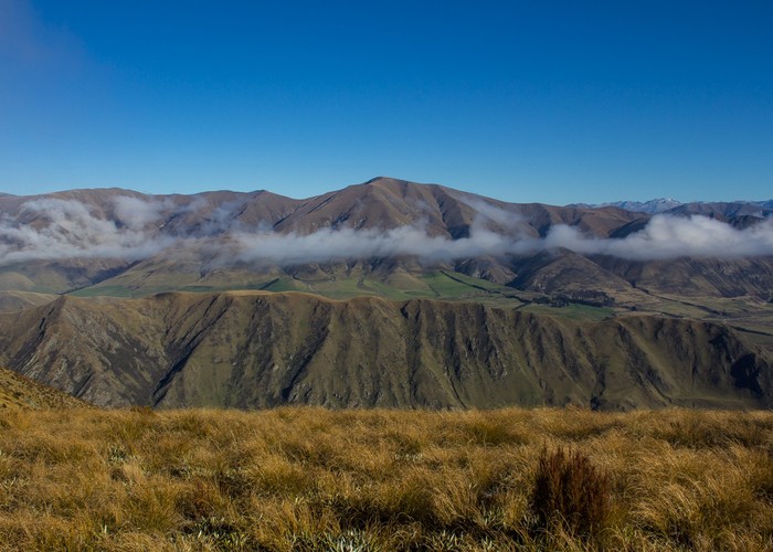
Moorhouse Range
- 3 hr 30 min return by the same track
- Medium
Climb to the low ridge of the Moorhouse Range near the Rangitata River.
4 members favourited
1 member checked in
|
Walking time
|
3 hr 30 min |
|---|---|
|
Distance
|
10.2km |
|
Type
|
Return by the same track
|
|
Grade
|
Medium
Straightforward but unmarked route Grades explained
|
|
Bookings
|
No bookings — open access
No — open access
|
|
Starts
|
Chapmans Road, Montalto 7778 |
|---|---|
|
Maps
|
-
|
|
Altitude
|
484m
–
1,153m
Altitude change 669m
|
ID 16461
About this track
187 views in the past year (16 per month).