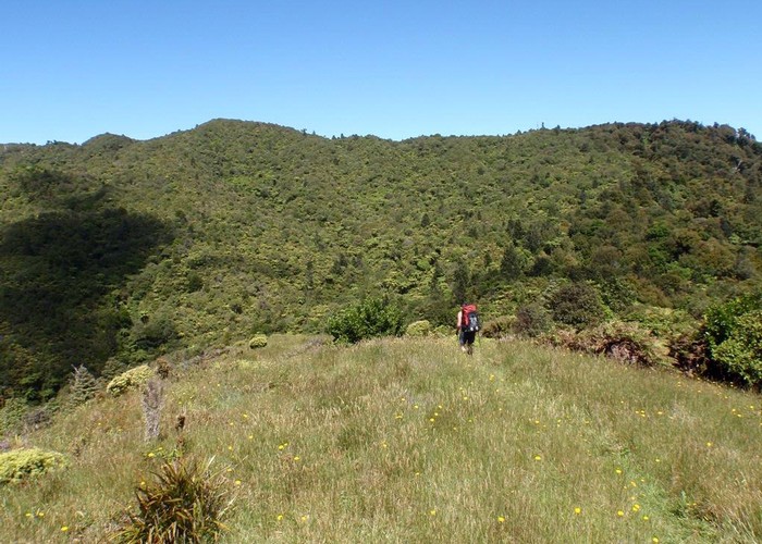
Kohukohunui circuit
Hunua Ranges Regional Park
- 6 hr – 8 hr loop track
- Easy/medium
Full day tramp in the hunua ranges south of auckland
5 members favourited
4 members checked in
|
Walking time
|
1 – 2 days
6 hr – 8 hr
|
|---|---|
|
Distance
|
18.0km |
|
Type
|
Loop track
|
|
Grade
|
Easy/medium |
|
Bookings
|
No bookings — open access
No — open access
|
|
Starts
|
waharau regional park |
|---|---|
|
Ends
|
Waharau regional park |
|
Maps
|
NZTopo50-BB33
|
|
Altitude
|
Sea level
–
688m
Altitude change 688m
|
|
Link
|
tramper.co.nz/?1544http://tramper.co.nz/?1544 |
|---|
Waharau ridge track- Kohukohunui track-Mangatangi ridge track- Waharau ridge track
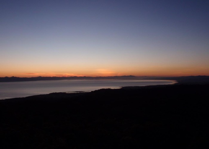
Good mixture of park tracks, tramping tracks and some bike tracks. Mixture of regenerative bush. Go prepared as the weather will turn this area nasty quickly. Good views over the firth of thames and north on a fine day. A small primitive hut on Kohukohunui (Tig K hut not marked on any map) if you chose to do it over two days.
ID 1616
About this track
125 views in the past year (10 per month).