Rapaki Track
- 45 min one way
- Easy
- To Rogers Track junction: 10 minutes
- To Valley Track junction: 25 minutes
- To Summit Road: 10 minutes
An evenly graded climb up to the Summit Road on Christchurch's Port Hills.
|
Walking time
|
45 min |
|---|---|
|
Distance
|
3.5km |
|
Type
|
One way
|
|
Grade
|
Easy |
|
Bookings
|
No bookings — open access
No — open access
|
|
Starts
|
Rapaki Road, Hillsborough, Christchurch. |
|---|---|
|
Ends
|
Summit Road. |
|
Maps
|
-
|
|
Altitude
|
56m
–
331m
Altitude change 275m
|
Popular with walkers, bikers, and runners, this track is wide, and has enough room for everybody. It sets off from the top end of Rapaki Road, where there is some roadside parking. Toilets are located on Vernon Terrace at the foot of Rapaki Road.
The track sets off through a patch of plantation pine before breaking out onto the open grassland of Mount Vernon Park. After 10 minutes, you pass the marked Rogers Track, which drops down to the valley floor.
Patches of matagouri, shield fern, piripiri, and leptinella, and muehlenbeckia are beside the track, with a few kanuka and kowhai trees further along.
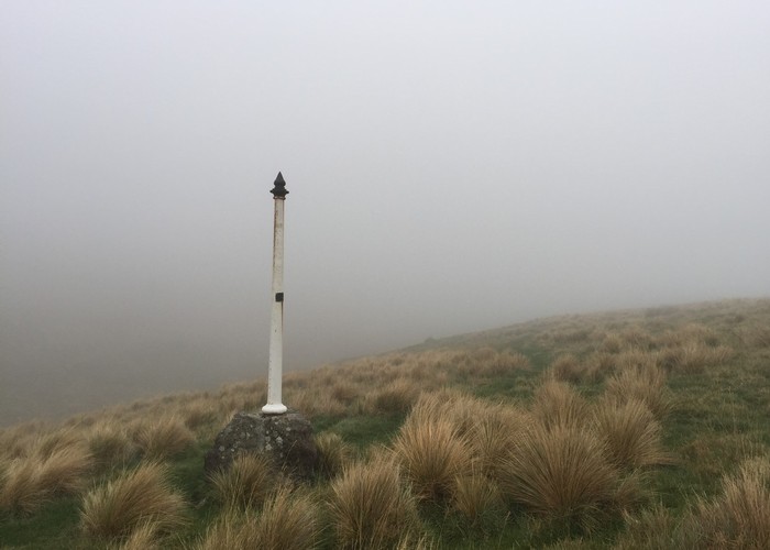
Under power pylons, the track levels off and drops down slightly to a saddle where the Valley Track meets up. A memorial pole on the right marks the point where a ten-year old boy died of hypothermia in 1883.
From here, the track steepens and climbs to the car park. Good views from here across the harbour or up to the crescent of Rapaki Rock, a volcanic dyke popular with climbers.
Walking time is 45 minutes each way.