Trig M
Korowai/Torlesse Tussocklands Park
- 2 hr 10 min – 3 hr return via same track
- Easy
An easy climb through subalpine scrub to a windy summit.
|
Walking time
|
2 hr 10 min – 3 hr |
|---|---|
|
Distance
|
6.0km |
|
Type
|
Return via same track
|
|
Grade
|
Easy |
|
Bookings
|
No bookings — open access
No — open access
|
|
Starts
|
SH73, gate and DOC sign 1km west of Porter's Pass |
|---|---|
|
Maps
|
NZTopo50-BW21
|
|
Altitude
|
880m
–
1,251m
Altitude change 371m
|
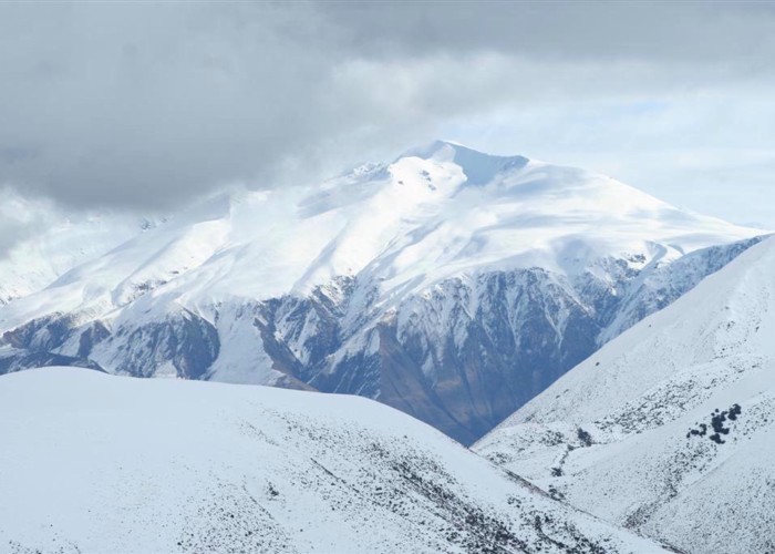
This track is a good alternative if the weather is bad further inland, although wind blasts the ridge from the northwest. The routwe can be extended a further two hours return to Rabbit Hill.
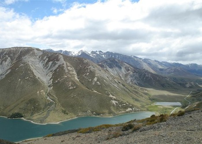
Locate the gate on the southern side of the road, midway between Porter's Pass and Lake Lyndon. From here, an old vehicle track leads toward the pass and begins zigzagging up the hillside to reach the ridge with steep views into Coach Stream. From here, a trail splits off to the left. Take the vague track to the right and follow it along the ridge to the southwest. An easy walk leads over a series of gentle summits to the expansive grassy top marked by the trig.
From here there are 360 degrees of views: northward to the Craigieburn Range, northeast to Foggy Peak, east to Christchurch and Banks Peninsula, south to the Big Ben Range, southwest along the old glacial valley to Lake Coleridge, west to Red Hill, and northwest to Mount Lyndon behind the lake.