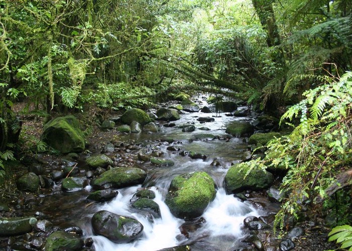
Pirongia Forest Park

Information may be incorrect: you are not viewing the latest version of this page. This version ID 1747 created 10 June 200610 June 2006 by matthewmatthew.

A small park near Hamilton surrounding three small volcanoes. Highest point: 959m (Pirongia).

Forest stream • By matthew.
Area
171 square kilometres
Maps
NZTopo50-BE33
Map
ID 1449

About this place

Added 10 June 2006 by matthewmatthew. 2 revisions, most recently 10 June 2006 by matthewmatthew.
50 views in the past year (4 per month).