Paparoa National Park
A land of cliffs, gorges, caves, and disappearing rivers, draped in rich coastal forest.
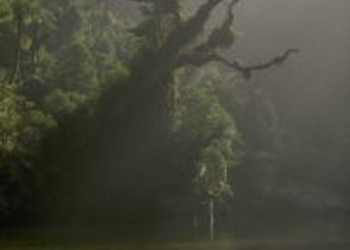
Paparoa National Park protects a small but diverse region of the West Coast from rugged coastline up to the peaks of the Paparoa Ranges. The landscape has been formed from limestone and sculpted by water to form an environment known as karst, featuring rivers that disappear underground, a network of cakes, sinkholes, and handsome cliffs.
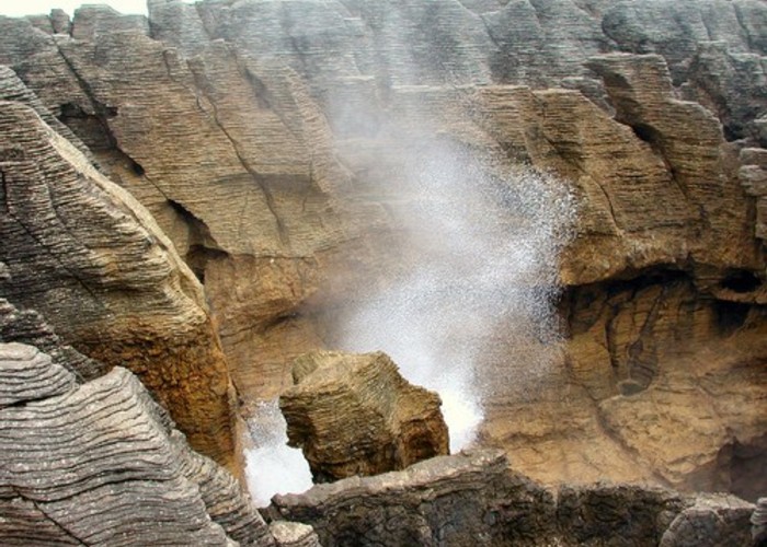
Most visitors to the park arrive by bus and stop only at the iconic Pancake Rocks by the visitor centre. Check these out at high tide or in stormy weather for the best show. Several short walks from the roadside lead to handsome beaches or into caves. The Inland Pack Track is the park's premiere overnight track, taking 2 to 3 days.
The settlement of Punakaiki offers basic services, including a shop, cafe, and information centre. Petrol is not available here, but is available from Westport and Greymouth.
How to get there
The coastal highway is very beautiful but narrow and winding. From Greymouth, drive 45km north along SH6. From Westport, head west on SH67, then turn right onto SH6, 56km total. Buses run along the coastal highway and will drop you off at Punakaiki.
Where to stay
A full service campground is located in Punakaiki. There is also a backpackers' lodge at Te Miko (a few minutes' walk north). A variety of other lodges are available.
Accessibility
The Pancake Rocks walk is accessible to wheelchairs, with assistance.
The basics
- Entrance fee: there are no fees for New Zealand National Parks.
- Pets: dogs and pets are not allowed in Paparoa National Park. The highway itself is not part of the park.
- Vehicles: all land vehicles including bicycles are prohibited from the park. However, Bullock Creek Road is excluded from the park, and is a rewarding drive.
- Overnight camping and walking: no fees, registration, or restrictions for the backcountry.
- Check in at the visitor centre for weather conditions and current information.
Hazards
- Coastal seas in the area are not safe for swimming.
- Rivers in flood are hazardous to cross. If in doubt, wait it out.
- Dense forest hides sinkholes and underground caverns. Be wary of straying from marked tracks.

Visitor information
Paparoa National Park Visitor Centre
Main Road, Punakaiki
+64 3 731 1895
Full contact details
|
Area
|
306 square kilometres |
|---|---|
|
Established
|
23 November 1987 |
|
Maps
|
NZTopo50-BS19
|