Kettle Hole Walk
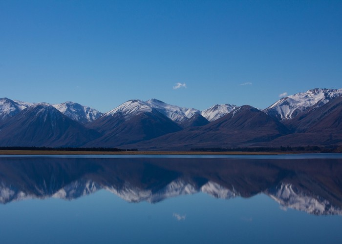
Hakatere Conservation Park
- 20 min return by the same track
- Easy
A short walk to a small ephemeral pond.
|
Walking time
|
20 min |
|---|---|
|
Distance
|
0.7km |
|
Type
|
Return by the same track
|
|
Grade
|
Easy |
|
Bookings
|
No bookings — open access
No — open access
|
|
Starts
|
Turn off the Hakatere Heron Road at the southern end of Lake Heron and follow the car park access road for about 500m. The walk is marked by a small sign. |
|---|---|
|
Maps
|
NZTopo50-BX19
|
|
Altitude
|
720m
–
710m
Altitude change -10m
|
The Lake Heron basin is dotted with kettle holes, small depressions left as glacial ice retreated from the area. Many of these kettle holes dry out and refill throughout the year. Specialised and fragile plant species occupy the depressions.
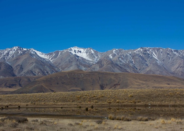
From the roadside car park, follow the poles up a gentle rise. The landscape is golden tussocks with matagouri and patches of speargrass. A sturdy seat overlooks the kettle hole. A more reliable kettle hole is a little further on.
ID 13413
About this track
Added 9 September 2014 by matthewmatthew.
No revisions.
52 views in the past year (4 per month).