Mt Arthur
Kahurangi National Park
- 1 – 2 days return by the same track
- Easy/medium
- Flora car park to Flora Saddle: 10 minutes, 950m
- Flora Saddle to Mt Arthur Hut: 1 hour 15 minutes, 3.6km
- Mt Arthur Hut to Mt Arthur: 2-3 hours, 5km
Straightforward climb to the summit of Mt Arthur (1795m) on the Arthur Range.

|
Walking time
|
1 – 2 days
7 hr – 9 hr
|
|---|---|
|
Distance
|
19.1km |
|
Type
|
Return by the same track
|
|
Grade
|
Easy/medium |
|
Bookings
|
No bookings — open access
No — open access
|
|
Starts
|
Flora Carpark, Graham Valley South Branch Road, Motueka Valley. |
|---|---|
|
Ends
|
Mt Arthur summit. |
|
Maps
|
NZTopo50-BQ24
|
|
Altitude
|
930m
–
1,795m
Altitude change 865m
|
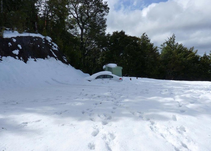
From Flora car park, it is 10 minutes to Flora saddle. Here, the Mt Arthur Track branches left, to climb steadily up a well graded path to the Mt Arthur Hut on the bushline .
In good weather, the climb from the hut is a relatively straightforward alpine tramp to the peak. Follow the well-worn poled route along the broad tussock ridge leading southwest. Higher up the path enters an area of exposed glaciated marble outcrops below Mt Arthur, including sinkholes and slots. The track sidles beneath Winter Peak (1750m) and around the head of Horseshoe Basin before reaching the short steep scramble onto the summit plateau.
Walking times
Other routes
From Mt Arthur Hut, an alternate return route goes via Flora Hut and down Flora Stream. (1.5 hours, 4km).
From Horseshow Basic, the Gordons Pyramid Route leads onward to Gordons Pyramid (1489m). From here, a longer return route via Cloustons Mine Track and Flora Stream would be possible.
From Mt Arthur, the Ellis Basin Route leads down to Ellis Hut and out to Baton Valley Road.