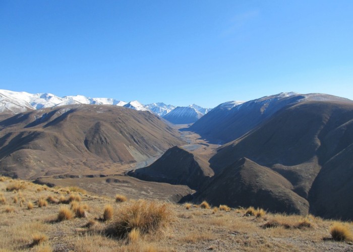
Dog Hill to Boundary Creek Hut

From Buicks bridge car park their is a 4WD track (4.24km ) running to the bace of dog hill , next to the south branch of the Ashburton river.from there it's a easy clime up onto the dog hill 59G 509287E 5176631S the easiest way from there is turn right to 59G 509257E 5176674s , just keep to the ridges to the highest point on the dog 1169m where you descend to the saddle /4wd track and continue to the hut.
Comments
-
 Russell Pullar It's about 3 :30 hours & about 7.50km
5 September 2014
ID 12407
About this photograph
License
All rights reserved
28 views in the past year (2 per month).