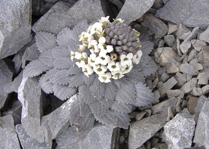
Red Hill
Korowai/Torlesse Tussocklands Park
- 5 hr – 6 hr loop track
- Medium
This route climbs Red Hill, with good views toward Lake Coleridge, and drops back through scrub to form a circuit.
1 member favourited
1 member checked in
|
Walking time
|
1 day
5 hr – 6 hr
|
|---|---|
|
Type
|
Loop track
|
|
Grade
|
Medium |
|
Bookings
|
No bookings — open access
No — open access
|
|
Starts
|
Turn off SH73 at Lake Lyndon onto the Lyndon Road. Park just before the distinct kink in the road (consult the map). |
|---|---|
|
Maps
|
NZTopo50-BW20
|
|
Altitude
|
815m
–
1,645m
Altitude change 830m
|