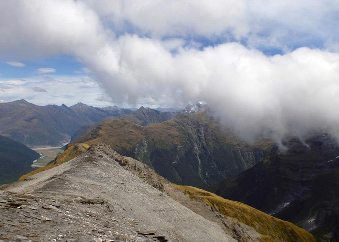
Looking south from Sysiphus Peak

The Matukituki East Branch winds its way down to meet the West Branch, where we started this walk yesterday. It's only about 12 kms away, and 1500m lower. The Kitchener River cuts a 1000m deep valley between this ridge and Duncans Knob, the next ridge south. You can see the shape of the Kitchener River valley, and the Rainbow Stream valley that joins it, to our right. The cloud continued to stream of Mt Aspiring all day, and we never got a view of it.

