Redcliff Hut / Redcliff Bivouac
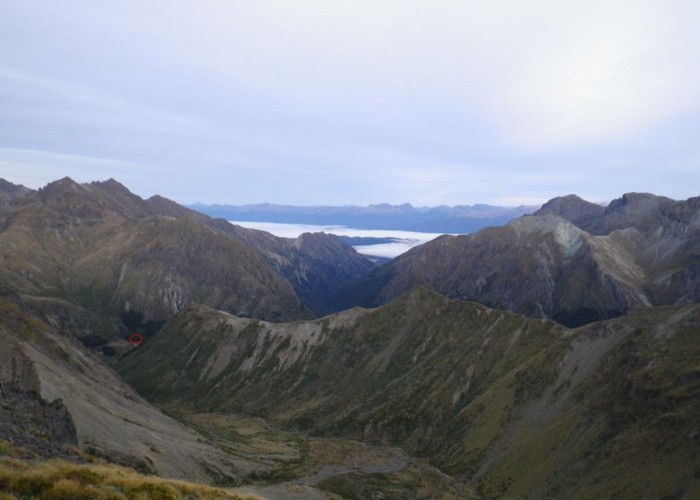
A typical 2-bunk forestry service hut in the Takitimus. Situated at the upper forks of the Redcliff Valley this hut is well hidden in a patch of beech on the southern (true left) side of the otherwise scrub/tussock-covered valley.
The hut has 2 bunks on the far wall and an open fire on the left. Firewood is plentiful and water is from a nearby small creek.
No markers are present to show the ascent from the river, but on reaching the forks, follow the spur upwards on the southern side and head for the bushline adjacent to the southern fork.
The main appeal of this hut is the fact that 3-4 people visit per year ... on a busy year! It is also:
- a base to climb Spence Creek (2nd highest point in the Takitimus)
- A stop on the east-west crossing from Dunrobin roadend to Windy Creek.
- An overnight stop for those walking the main ridge of the Takitimus
|
Owner
|
Owner: DOC |
|---|---|
|
Category
|
Basic Hut/Bivvy |
|
Sleeps
|
Sleeps 2
2
|
|
Facilities
|
Open fireplace |
|
Water supply
|
Tap or tank water |
|
Getting there
|
Dunrobin Roadend: Apurima Huts (track, 1-2hrs, 6km), Spence Hut (rough track, 3-6hrs, 7km), Here (5km, route - 700m climb - beech/tussock, 700m descent - loose scree, 2km valley walk through tussock/scrub) SH99 (Manapouri-Tuatapere: Windy River bridge): 11km (route via Windy Col, Windy River) Whare Creek Hut: 6km, Climb ridge opposite hut - good ridgeline route to above hut. Steep, scrubby descent. Apurima Forks Hut: Route as above but drop down Sth Fork of Apurima |
|---|---|
|
Unlocked
|
This hut is unlocked and open to access. |
|
Bookings
|
No bookings — open access
No — open access
|
|
Altitude
|
900m |
|---|---|
|
Mobile phone coverage
|
No coverage |
|
Maps
|
NZTopo50-CE08
|