Te Kahui Kaupeka Conservation Park

Information may be incorrect: you are not viewing the latest version of this page. This version ID 5389 created 23 April 200923 April 2009 by matthewmatthew.

Canterbury high country park including the Two Thumb Range and large portions of Mesopotamia Station.
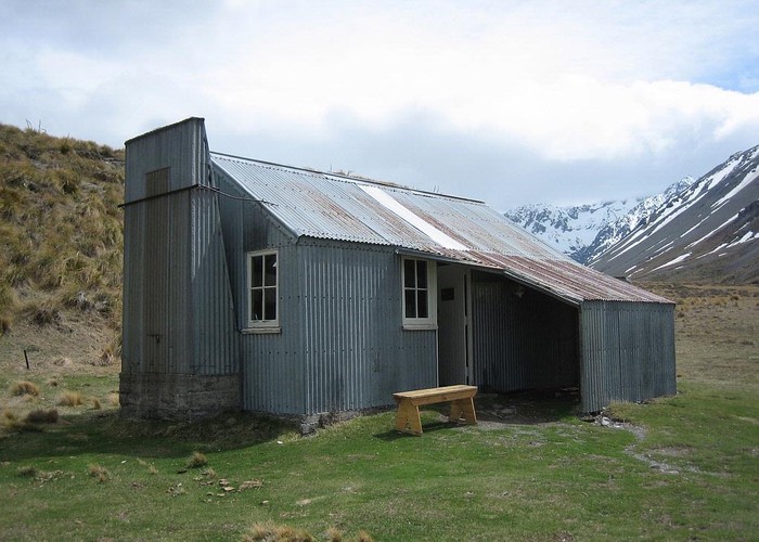
Top Hut (Te Kahui Kaupeka) • By iangeorge. Licence: C.
Area
938 square kilometres
Maps
NZTopo50-BX18
NZTopo50-BY17
NZTopo50-BX17
NZTopo50-BW17
Map
ID 3764

About this place

Added 23 April 2009 by matthewmatthew. 6 revisions, most recently 23 April 2009 by matthewmatthew.
59 views in the past year (5 per month).