Te Kahui Kaupeka Conservation Park
Canterbury high country park including the Two Thumb Range and large portions of Mesopotamia Station.
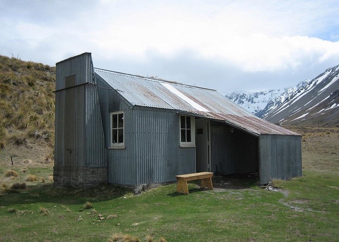
The Two Thumb Range lies between Lake Tekapo and the Godley and Macauley Rivers to the west, and the Rangitata River to the east. The famous Mesopotamia Station, briefly home to Samuel Butler, is directly east of the range. Most of the range, along with the neighbouring Sinclair and Sibbald Ranges is included in the park. A tramping track, which forms part of the Te Araroa Trail, crosses the park from southwest to northeast. There are several huts along the route.
|
Area
|
938 square kilometres |
|---|---|
|
Maps
|
NZTopo50-BX18
NZTopo50-BX17 NZTopo50-BY17 NZTopo50-BW17 |